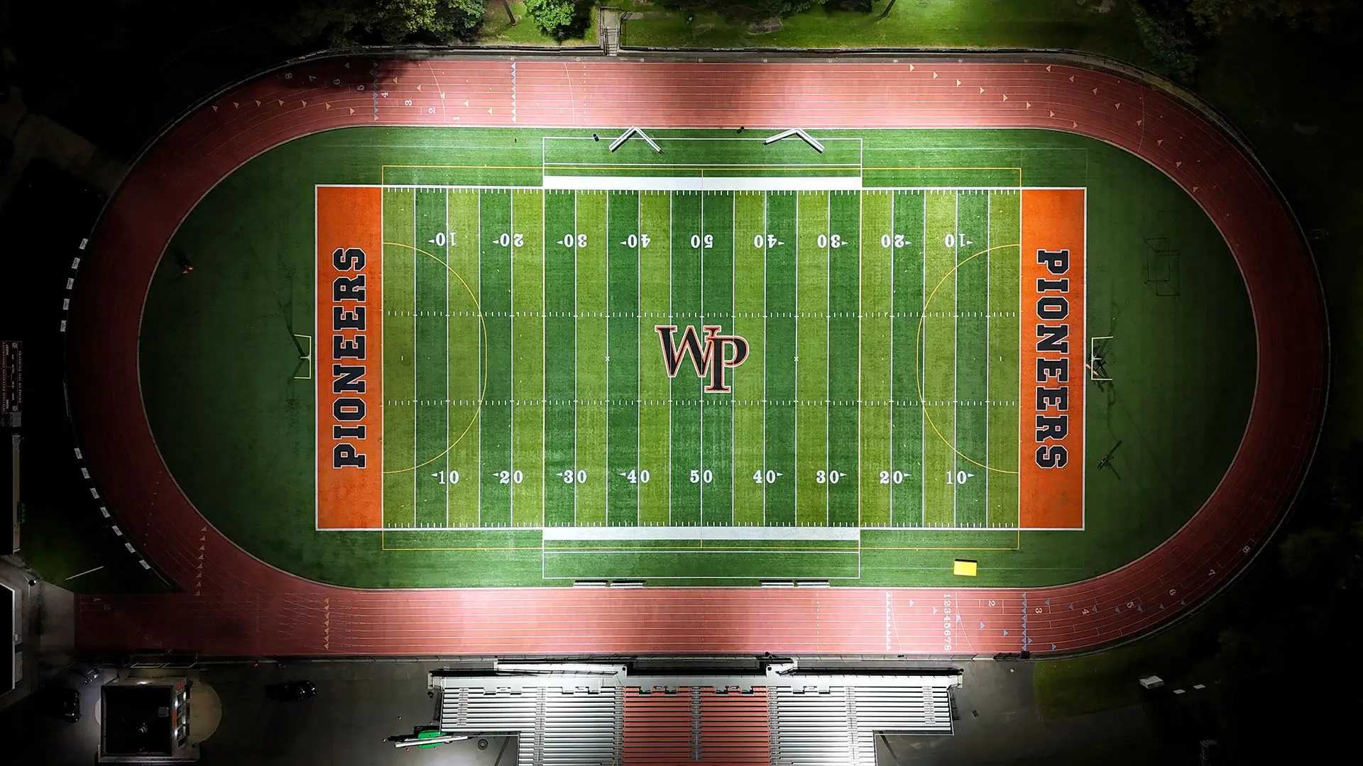
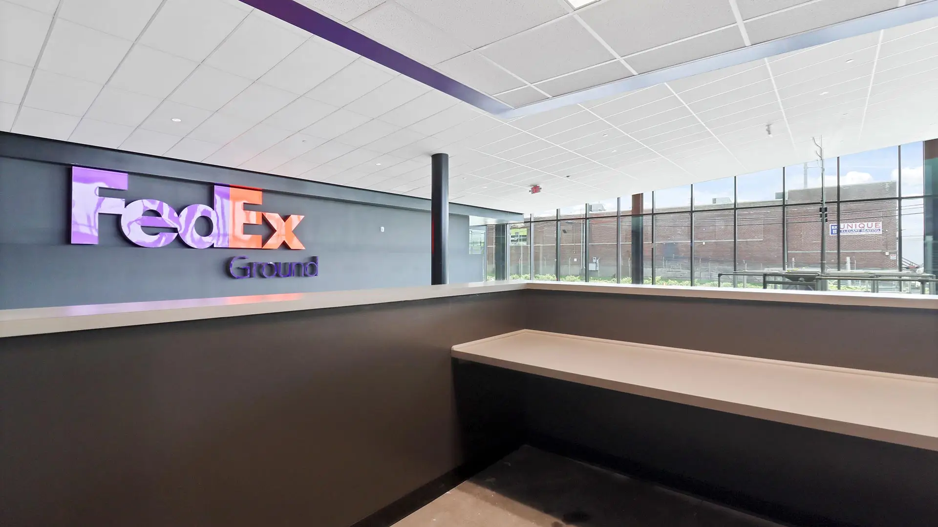
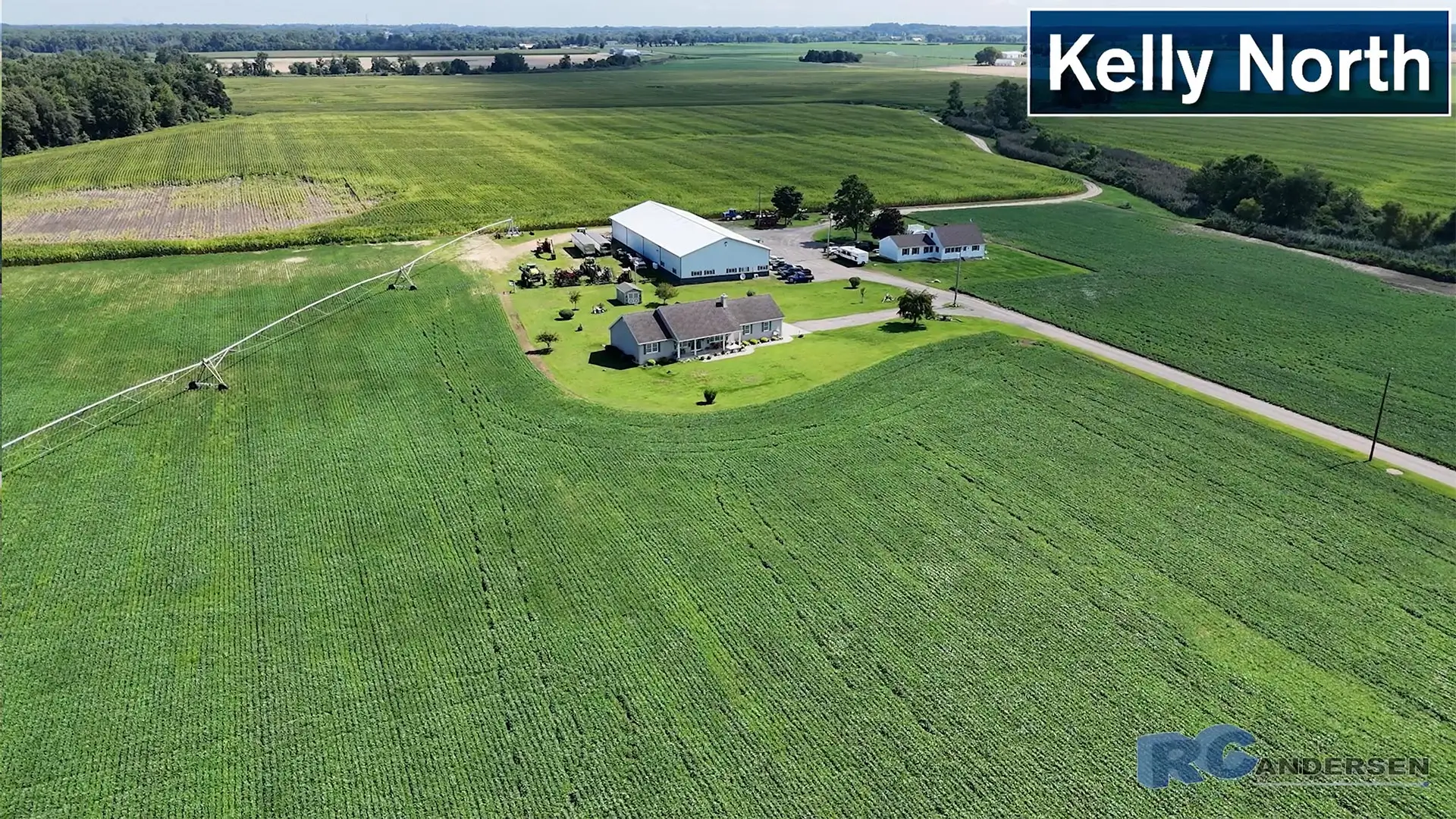
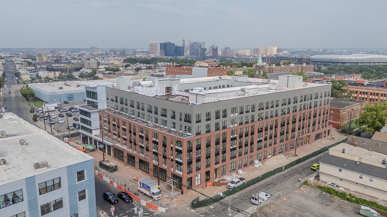
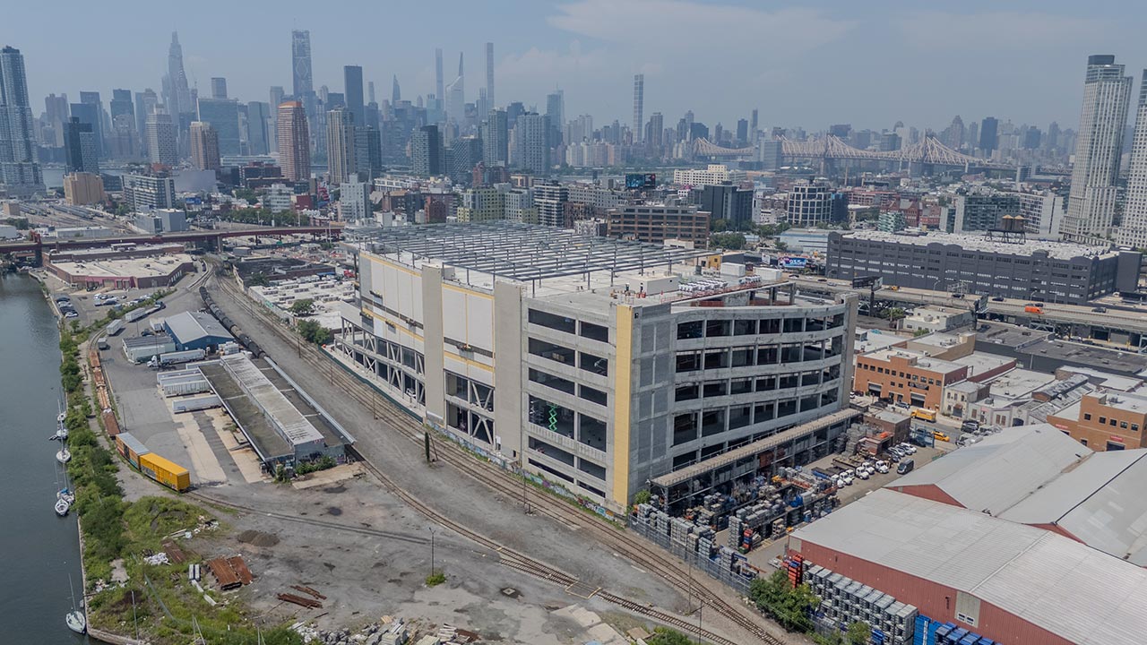
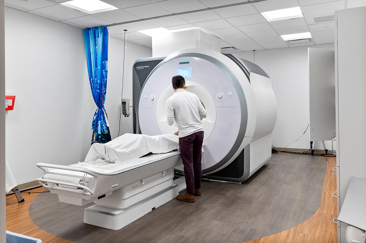
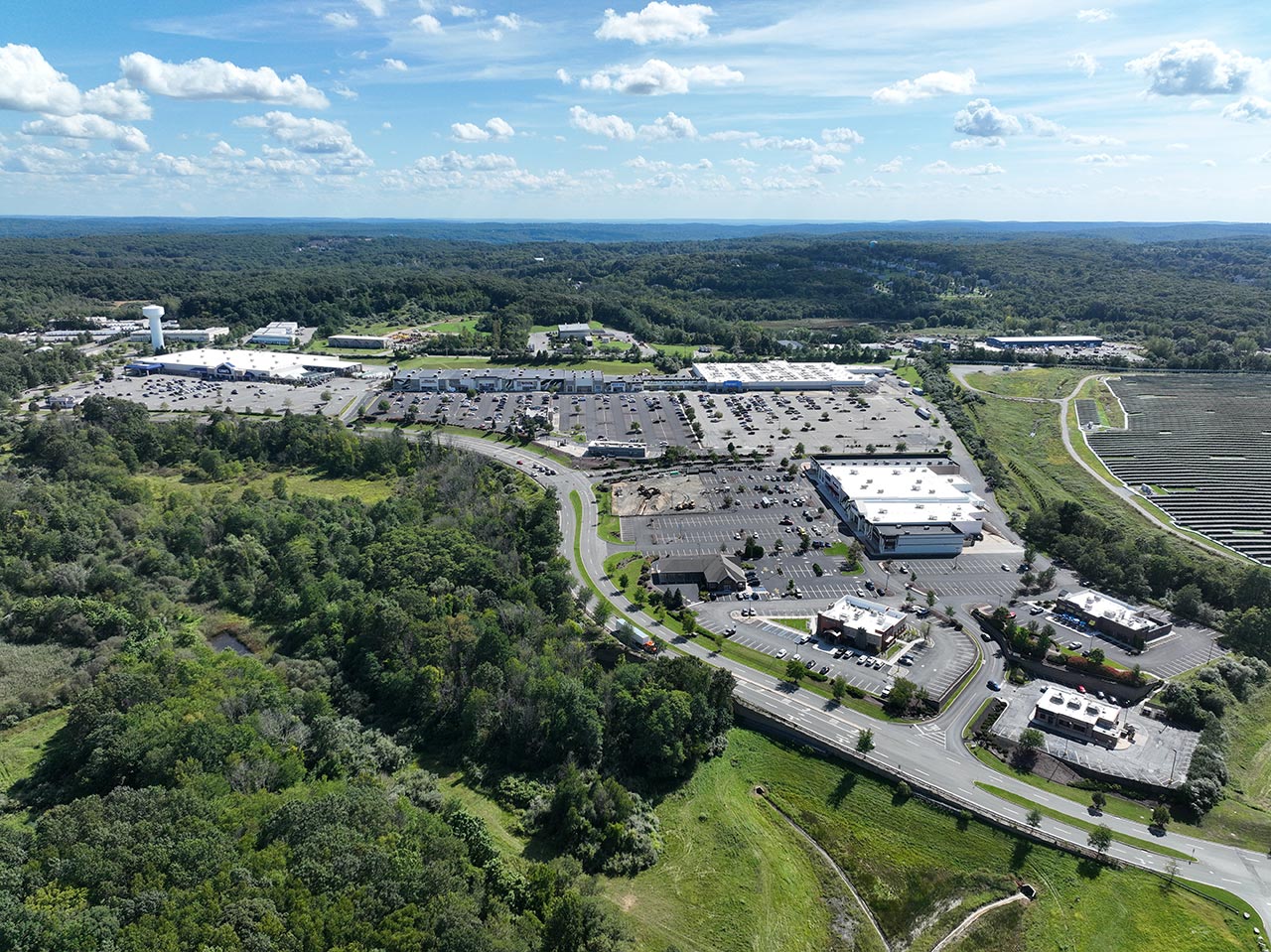
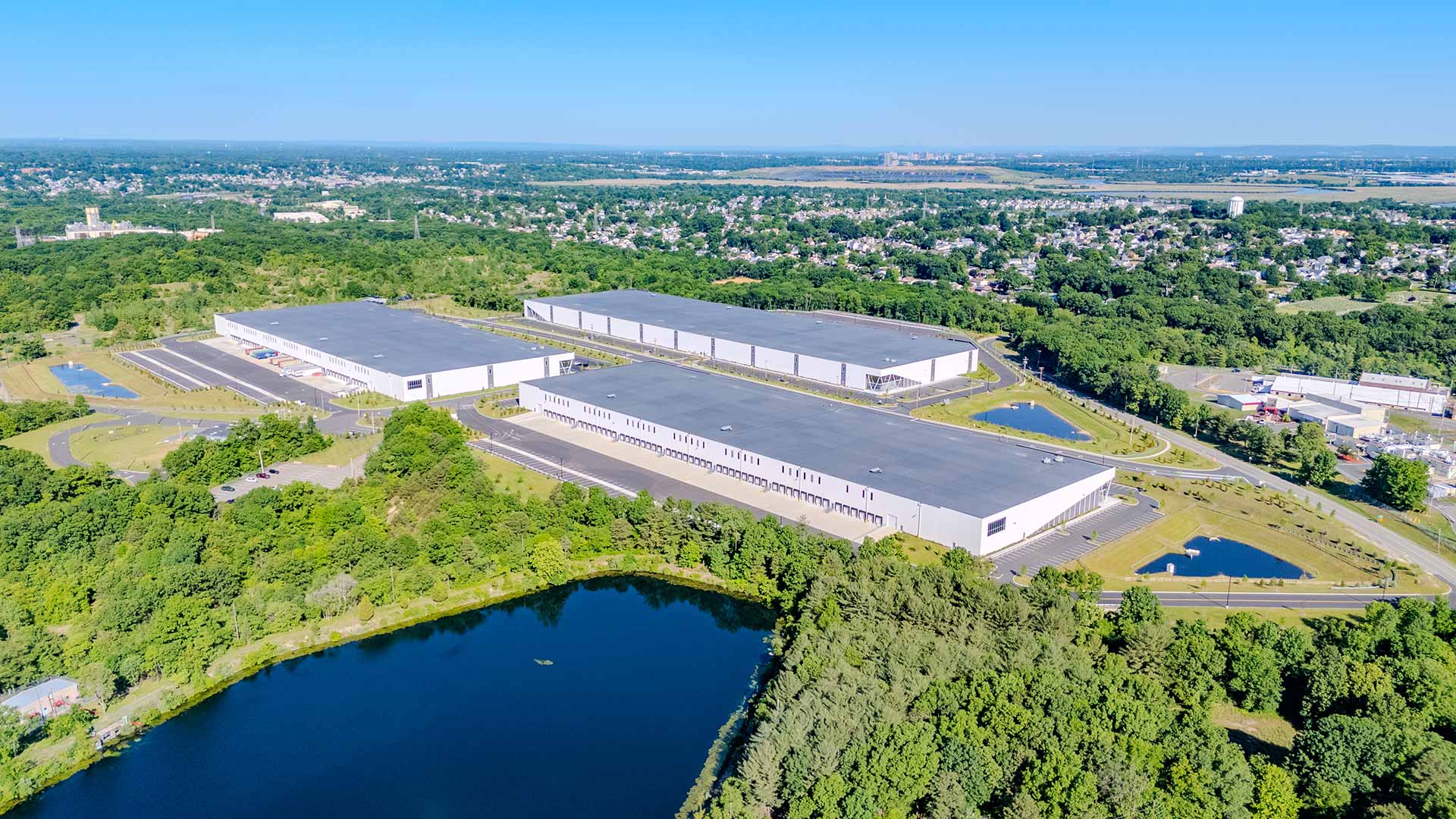
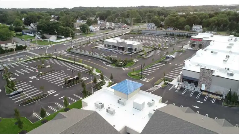
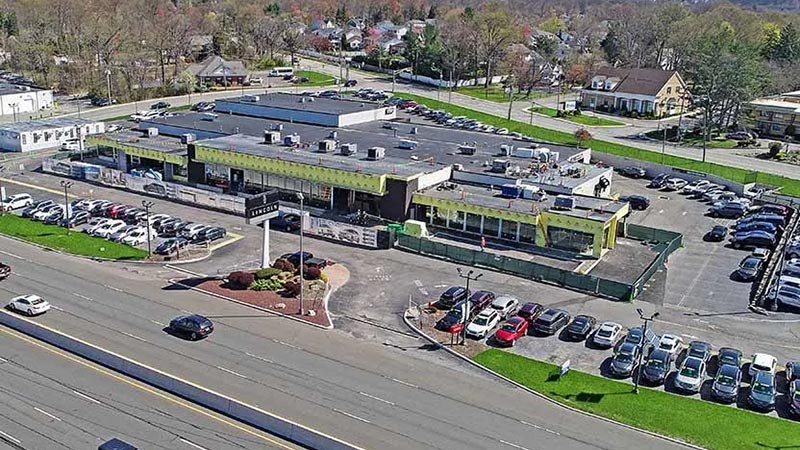
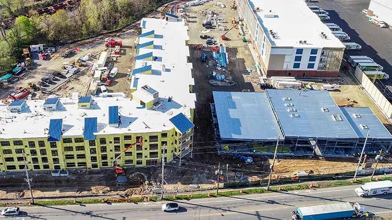
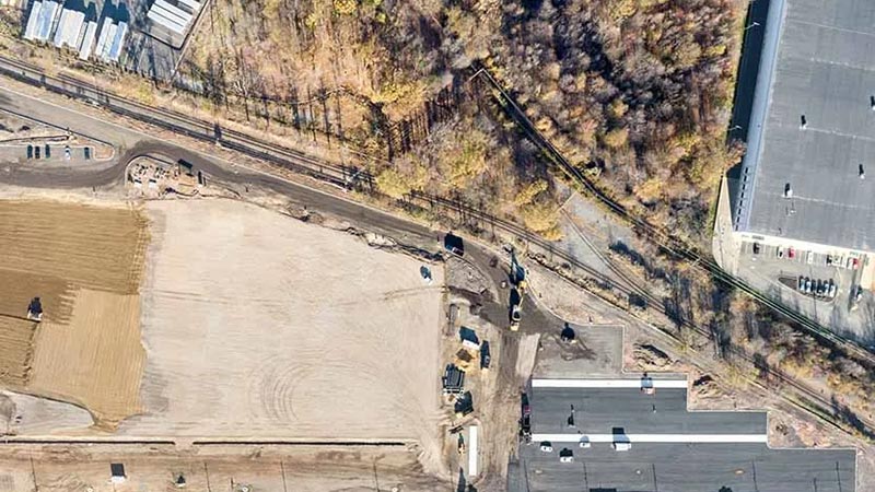
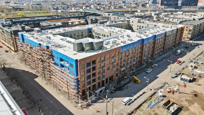
Get all of our essential aerial and ground-level services in one integrated package. Our Drone Mapping + Site Analysis offering combines high-quality progress imaging, dynamic 3D mapping, and immersive virtual walkthroughs to give you an unmatched view of your projects. From breaking ground to the finishing touches, our licensed team captures detailed visuals with minimal disruption to your site.
Professionally edited photos and videos show each project milestone.
Interactive Site Maps
Regularly updated drone imagery, 3D models, and panoramic views keep you informed.
Virtual Walkthroughs
Explore your project remotely with an immersive, high-resolution tour—anytime, anywhere.
Fewer Surprises
Use advanced annotation features and real-time data to catch potential issues early.
Seamless Integration
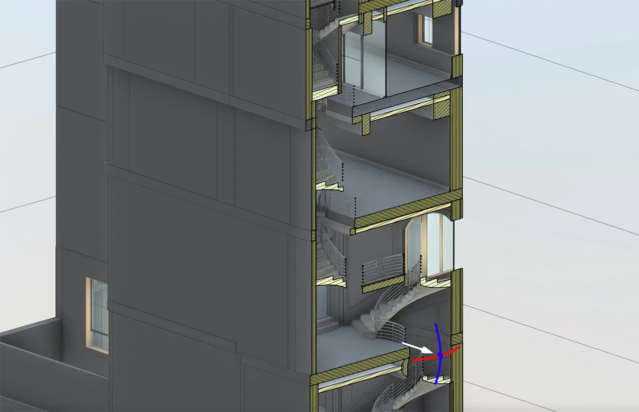
Transfer precise site information into your BIM workflows for coordinated planning.
Whether you’re managing a single construction site or multiple locations, our Drone Mapping + Site Analysis service provides a single source of truth for your entire team. Gain the clarity you need to make faster, better-informed decisions without unnecessary site visits.
Ready to Map Out Your Next Project?
Contact FirstLook today to schedule a demo or learn more. Let us bring the future of drone imaging technology to your job site—so you can stay focused on what you do best.
How it Works
1. Initial Consultation We start by discussing your project scope, timeline, and specific goals. We’ll work with you to identify the best approach—whether you need regular progress updates, detailed 3D models, or immersive virtual walkthroughs.
2. On-Site Capture Our licensed drone operators visit your site to capture high-resolution photos, videos, and data. By coordinating closely with your team, we ensure minimal disruption to your workflow and maximum safety on the job site.
3. Data Processing & Analysis Using advanced software, we process and combine all aerial and ground-level data into comprehensive maps, 3D models, and interactive tours. This step also includes adding annotations and integrating with your BIM or project management tools.
4. Interactive Review & Delivery We provide you with a user-friendly platform to explore and share your project data. Review the final results, request adjustments if needed, and use your new visuals for everything from client updates to internal planning. It’s that simple!