LiDAR is changing the way we uncover the past—and shape the future.
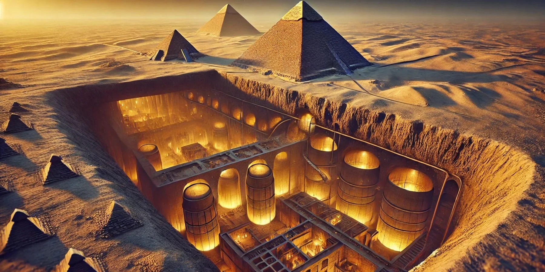
There’s a story making the rounds right now that’s raising more than a few eyebrows. According to recent reports, researchers using LiDAR technology may have discovered massive underground structures beneath the Great Pyramids of Egypt—some reaching as far as two kilometers below the surface.
It’s a bold claim. And while it’s undeniably fascinating, many experts are urging caution. No peer-reviewed studies have confirmed these findings yet, and until more data is available, the scientific community is wisely holding back from jumping to conclusions.
Still, it’s a reminder of just how powerful—and sometimes surprising—LiDAR technology can be.
From dense jungles to buried cities
This isn’t the first time LiDAR has revealed what was once invisible. One of the most remarkable examples happened in Guatemala, where researchers used airborne LiDAR to peer through thick jungle canopy. What they uncovered was stunning: more than 60,000 previously unknown Mayan structures, including homes, roads, and fortifications—evidence of a civilization far more complex than previously believed.
Similar breakthroughs have occurred in Cambodia, where LiDAR helped archaeologists map the lost city of Mahendraparvata, hidden for centuries beneath forest growth. These discoveries are reshaping our understanding of ancient societies—not by digging, but by scanning.
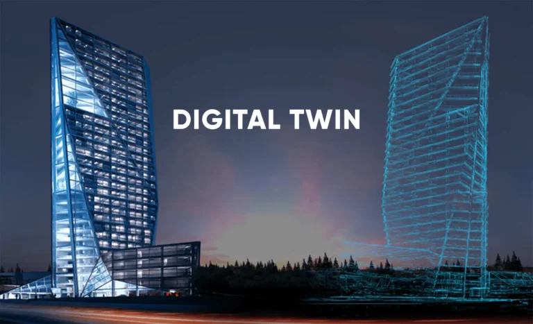
So what exactly is LiDAR?
LiDAR (short for Light Detection and Ranging) works by sending out pulses of laser light and measuring how long it takes for those pulses to bounce back. The result? Highly detailed 3D models of the surface below—whether that surface is a forest floor, an urban landscape, or the layers beneath the Earth’s crust.
It’s not science fiction. It’s cutting-edge science, and it’s already being used across industries to uncover what’s hidden, measure what’s hard to reach, and plan with far greater precision.
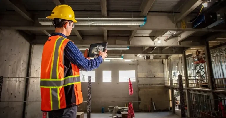
A powerful tool for modern construction and engineering
At FirstLook Services, we use LiDAR in a slightly less dramatic—but equally impactful—way. Our technology helps architects, engineers, and contractors see what lies beneath a site before ground is broken. From detecting hidden utilities to modeling complex topography, LiDAR allows for smarter decisions and safer builds.
When you can “see” through obstructions—be it dense vegetation, existing infrastructure, or underground features—you reduce surprises and costly delays.
So, what’s really under the pyramids?
We don’t know yet. The findings, if confirmed, could be groundbreaking. But until then, they’re a fascinating example of what’s possible with this technology—not proof of a hidden world. And that’s okay.
Because whether we’re uncovering ancient cities or mapping out a modern development, LiDAR continues to show us what’s been there all along—waiting to be revealed.
Planning a project? Let’s help you see the full picture.
FirstLook Services uses advanced LiDAR scanning to deliver clear, accurate data before you dig. Ready to find out what’s beneath your site? Reach out to our team today—we’d love to show you what you might be missing.