As demands for accuracy and efficiency grow, innovative tech like LiDAR (Light Detection and Ranging) is transforming how architects and engineers approach their work. In this blog, we’ll cover how LiDAR scanning delivers precise data for design and planning, and why it’s a must-have for modern projects.
What is LiDAR Scanning?
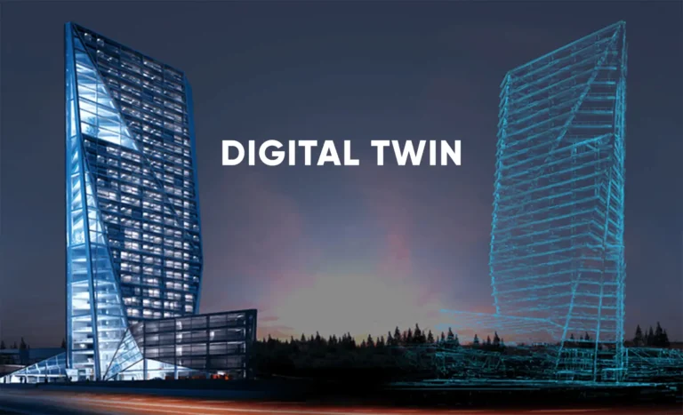
LiDAR scanning is a cutting-edge technology that uses laser pulses to measure distances between objects. These measurements create highly detailed 3D models of physical spaces, capturing everything from building interiors to vast landscapes.
There are three main types of LiDAR:
- Airborne LiDAR: Mounted on drones or aircraft, ideal for large-scale surveys.
- Terrestrial LiDAR: Ground-based systems used for detailed site mapping.
- Mobile LiDAR: Attached to vehicles for dynamic data collection, such as along roadways.
By offering unmatched accuracy, LiDAR technology has become an indispensable tool for 3D mapping and analysis.
Applications of LiDAR in Architecture and Engineering
LiDAR’s versatility shines across a range of applications:
1. Site Surveys
Traditional surveys can be time-consuming and prone to errors. LiDAR scanning streamlines the process, providing comprehensive topographic data that captures elevation changes, slopes, and other critical details in minutes.
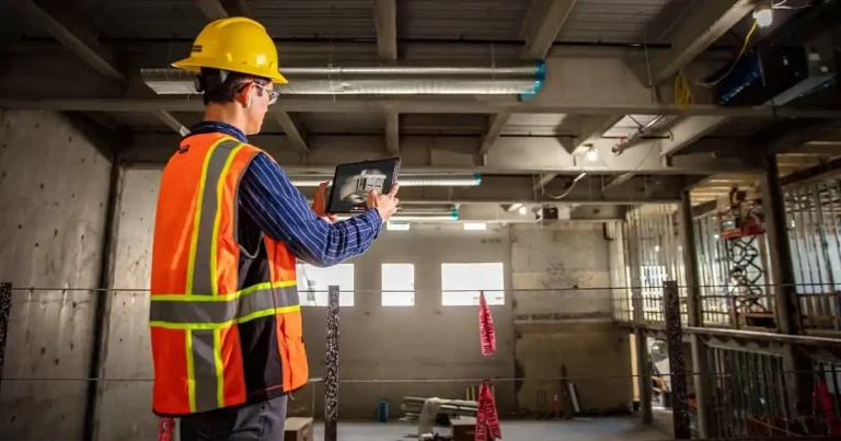
2. Building Information Modeling (BIM)
LiDAR produces detailed point clouds that integrate seamlessly with BIM software. This allows architects and engineers to design with accurate, up-to-date data, reducing errors during construction.
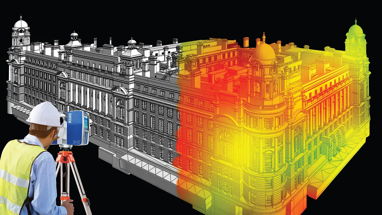
3. Historical Preservation
Preserving historical sites requires accuracy without causing damage. LiDAR’s non-invasive nature makes it ideal for documenting and restoring heritage buildings.
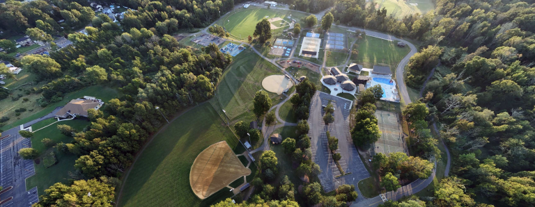
4. Urban Planning
From designing smart cities to upgrading infrastructure, LiDAR’s 3D models offer planners a detailed view of urban landscapes, helping them make informed decisions.
Whether it’s a small renovation or a large-scale infrastructure project, LiDAR ensures that every detail is accounted for.
Challenges and Considerations
While LiDAR offers numerous advantages, there are also a few considerations:
- Cost: Initial investments in equipment and training can be high.
- Training: Skilled professionals are needed to operate LiDAR systems and analyze the data.
- Data Management: Handling large datasets requires robust storage and processing capabilities.
Design Smarter, Build Better—Explore LiDAR with FirstLook
LiDAR scanning is revolutionizing architecture and engineering by delivering the precision and efficiency modern projects demand. From topographic surveys to urban planning, its applications are as diverse as they are impactful.
Ready to elevate your next project? Explore FirstLook’s expert LiDAR services and see the difference precision makes.