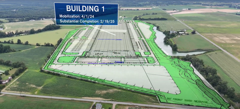
Using Aerial Photography Surveys for Accurate Property Boundaries and Land Surveys


What is an Aerial Photography Survey? Aerial photography surveys use drones equipped with high-resolution cameras to capture detailed images from above. These aerial images provide a clear view of the property, making it easier to define boundaries and identify land features. The process is faster and more accurate than traditional ground-based methods, allowing for better […]
