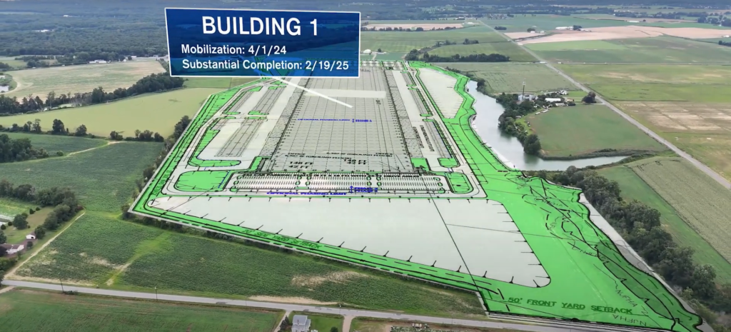
Using Aerial Photography Surveys for Accurate Property Boundaries and Land Surveys


What is an Aerial Photography Survey? Aerial photography surveys use drones equipped with high-resolution cameras to capture detailed images from above. These aerial images provide a clear view of the property, making it easier to define boundaries and identify land features. The process is faster and more accurate than traditional ground-based methods, allowing for better […]
Mapping the Future: The Role of Aerial Photography in Pre-Construction Planning and Land Development in New Jersey


Introduction Welcome to FirstLook Service, your trusted partner in aerial photography, drone photography, and construction photography and videography in New Jersey. Navigating the challenges and opportunities of land development in our densely populated and diverse state requires innovative solutions. Aerial photography is quickly becoming a cornerstone in the construction industry, offering a bird’s-eye view that […]
