Client: RC Andersen Location: Carney’s Point, New Jersey
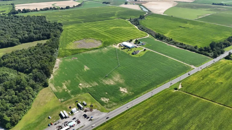
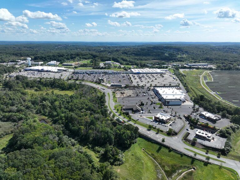
Project Overview: Ahead of a competitive bidding process for a six-warehouse development in Carney’s Point, our team was brought in to support RC Andersen’s proposal with targeted visual assets. We captured aerial drone footage and generated a site-wide map to help contextualize the scale and phasing of the untouched land. These visuals were then combined with civil plan overlays and timeline annotations to produce a concise video presentation that effectively conveyed the project vision to stakeholders.
While the visual elements were lean — relying on basic concept illustrations rather than polished renderings — the outcome served its purpose: to clearly communicate the scope, sequence, and potential of the proposed work. The result was a compelling asset that helped secure the project.
Services Provided:
Aerial drone footage and site documentation
Orthomosaic map for site visualization
Civil plan overlay integration
Project timeline visualization
Preconstruction video editing and delivery
Impact & Value:
Helped client win a large-scale, multi-building development bid
Made abstract site plans more tangible and easier to present
Enabled visual storytelling using minimal resources
Demonstrated how lightweight tech solutions can drive major outcomes