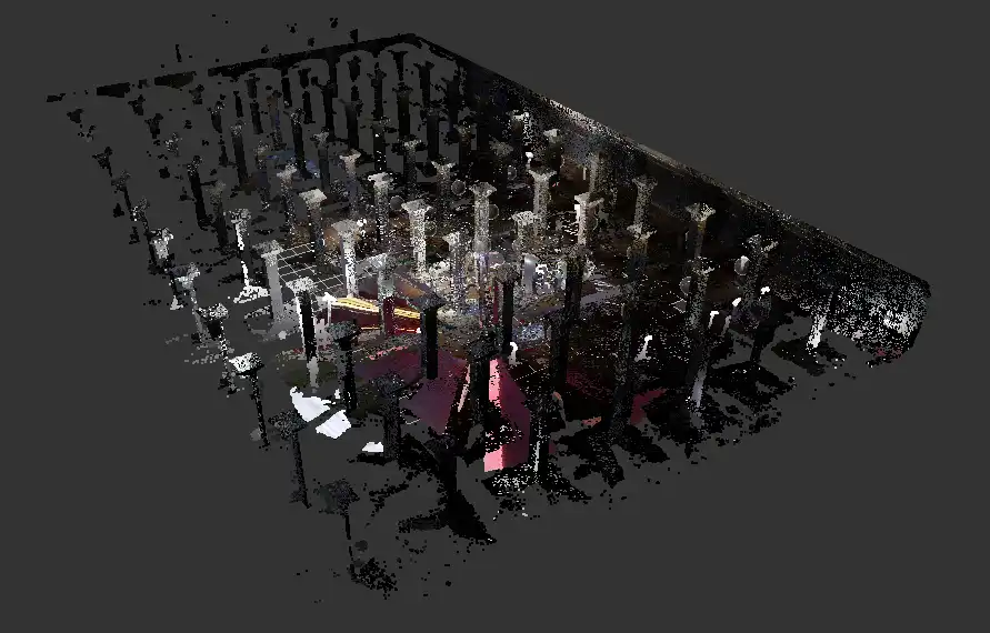
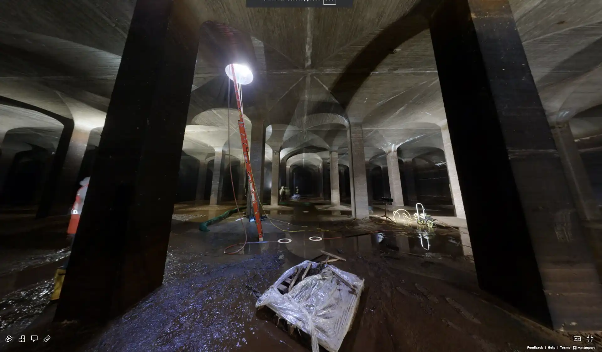
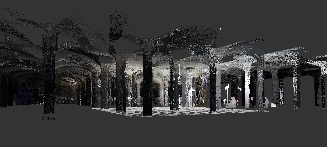
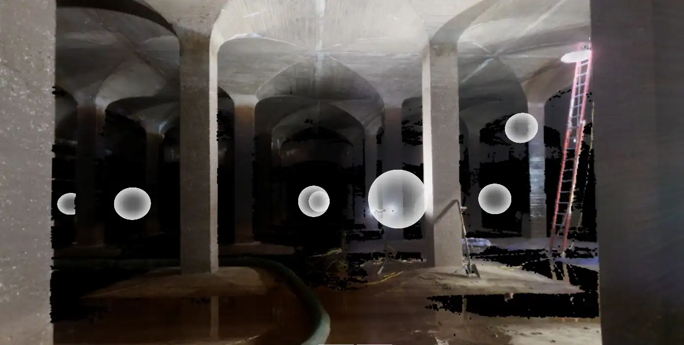
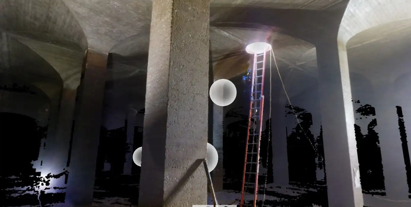
Project Overview: We were engaged to perform a detailed LiDAR scan of an underground water basin for an infrastructure assessment project. The goal was to document existing geometry and support structural analysis with non-invasive methods.
High-resolution scans enabled engineers to assess stress, deformation, and movement by comparing site conditions against design tolerances, all while operating within a confined and sensitive environment.
Services Provided:
Full interior LiDAR scan of the underground basin
Generation of precise 3D point cloud data
Coordination with structural engineering teams
Delivery of georeferenced models
Impact & Value:
Enabled accurate visualization of existing conditions
