Every construction problem has a beginning.
And more often than anyone likes to admit, that beginning is bad information.
Outdated as-builts. Hand-measured floor plans. Guesswork hidden behind confident assumptions. It all looks fine… until framing starts, ducts don’t fit, or a structural element shows up where no one expected it. Suddenly schedules slip, budgets swell, and everyone’s asking the same question:
“How did we miss this?”
That’s exactly why LiDAR scanning services are becoming the new standard across the United States—especially for commercial builders, developers, architects, and property owners who can’t afford surprises anymore.
The Hidden Risk of “Close Enough” Documentation
Traditional site documentation has always relied on a mix of legacy drawings, manual measurements, and partial surveys. For decades, that was considered normal. But today’s projects move faster, involve more trades, and leave far less room for error.
When existing conditions aren’t accurate, the risk multiplies:
- Design teams make decisions based on incorrect dimensions
- Trades clash on site instead of in coordination meetings
- Change orders appear mid-build
- Projects slow down before they ever gain momentum
The frustrating part? None of this feels dramatic at first. It starts quietly—an inch here, a missed soffit there—until the problem becomes expensive.
What LiDAR Scanning Actually Does (Without the Buzzwords)
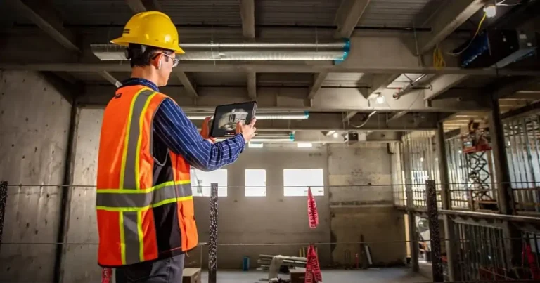
LiDAR scanning uses laser technology to capture millions of precise data points inside a space. Every wall, floor, ceiling, beam, column, pipe, and opening is measured and recorded in three dimensions.
Instead of a rough interpretation of a building, you get a true digital snapshot of what exists today.
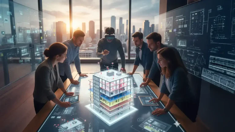
At FirstLook Services, those scans are transformed into clean, organized datasets and Revit-ready models that project teams can actually use. Not pretty pictures. Real working files.
The result? Everyone—from architects to engineers to contractors—is working from the same source of truth.
Why Existing Conditions Matter More Than Ever in 2026 Projects
Across the U.S., construction is evolving fast:
- More renovations and adaptive reuse projects
- Tighter schedules and compressed preconstruction phases
- Increased coordination between architecture, structural, and MEP trades
In markets like New York, New Jersey, Florida, Texas, California, and the Midwest, older building stock makes accurate documentation even more critical. Many of these structures have been modified multiple times, often without updated drawings.
LiDAR scanning removes the uncertainty before it becomes a liability.
How LiDAR Changes Preconstruction Nationwide
Here’s where the real value shows up.
With LiDAR scanning completed early:
- Architects design with confidence
- Engineers coordinate systems without guessing clearances
- Contractors bid accurately instead of padding estimates
- Owners see fewer delays and fewer change orders
Instead of reacting to problems on site, teams resolve them digitally—where fixes cost minutes, not money.
This is especially powerful for:
- Commercial renovations
- Healthcare and educational facilities
- Warehouses and industrial buildings
- Retail and mixed-use properties
Why Contractors Across the U.S. Are Adopting LiDAR
Contractors aren’t adopting LiDAR because it’s trendy. They’re adopting it because it protects margins.
When a contractor can trust the existing conditions model:
- Crews spend less time waiting
- RFIs drop dramatically
- Coordination meetings are productive instead of reactive
- Projects stay closer to schedule
In competitive U.S. construction markets, that advantage matters.
From Scan to Model: Where FirstLook Fits In
LiDAR scanning alone is only half the equation. What matters is what happens next.
FirstLook Services bridges the gap between raw data and usable deliverables:
- On-site LiDAR scanning of commercial and residential spaces
- Point cloud processing and registration
- Revit model creation for design and coordination
- Clean handoffs to architects, engineers, and contractors
We don’t overwhelm teams with bloated files or unnecessary detail. We deliver models that match the project’s goals—accurate, organized, and ready for real-world use.
A Real-World Scenario (That Happens All the Time)
A developer plans a commercial renovation based on legacy drawings. Demolition begins. A structural beam appears where an open ceiling was planned. Mechanical routing has to change. Electrical runs shift. The domino effect starts.
Now imagine the same project—but with a LiDAR scan completed upfront.
That beam? Identified early.
The layout? Adjusted before construction.
The schedule? Protected.
That’s the difference accurate existing conditions make.
Why This Matters for Owners and Developers
Owners don’t just want projects completed—they want them completed without drama.
LiDAR scanning gives owners:
- Better cost predictability
- Fewer mid-project surprises
- Clear documentation for future renovations
- Long-term value through accurate digital records
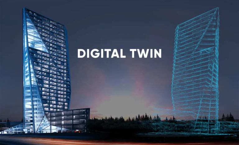
In many cases, that scan becomes the foundation for a digital twin, continuing to provide value long after construction ends.
The Takeaway (Without Overexplaining It)
Construction problems don’t usually start on the jobsite.
They start with bad data.
LiDAR scanning replaces assumptions with accuracy and gives project teams across the United States a smarter way to plan, design, and build.
Ready to Start Your Next Project the Right Way?
If you’re planning a renovation, new build, or commercial project anywhere in the U.S., the smartest first step isn’t demolition—it’s documentation.
📞 Contact FirstLook Services today to schedule a LiDAR scan and give your project the clarity it deserves from day one.