What is an Aerial Photography Survey?


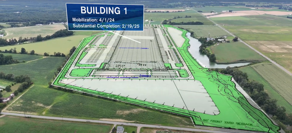
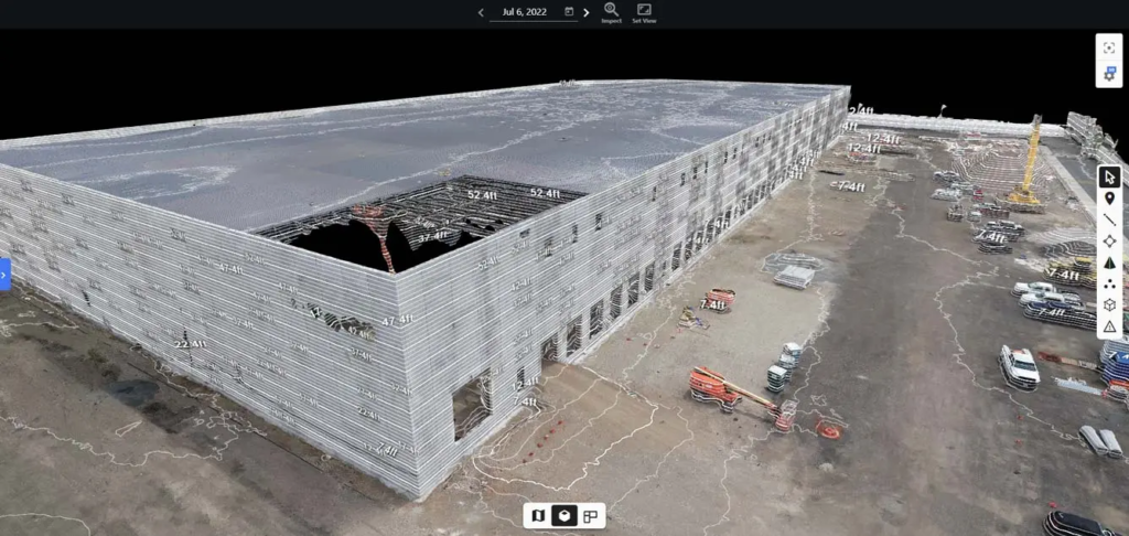
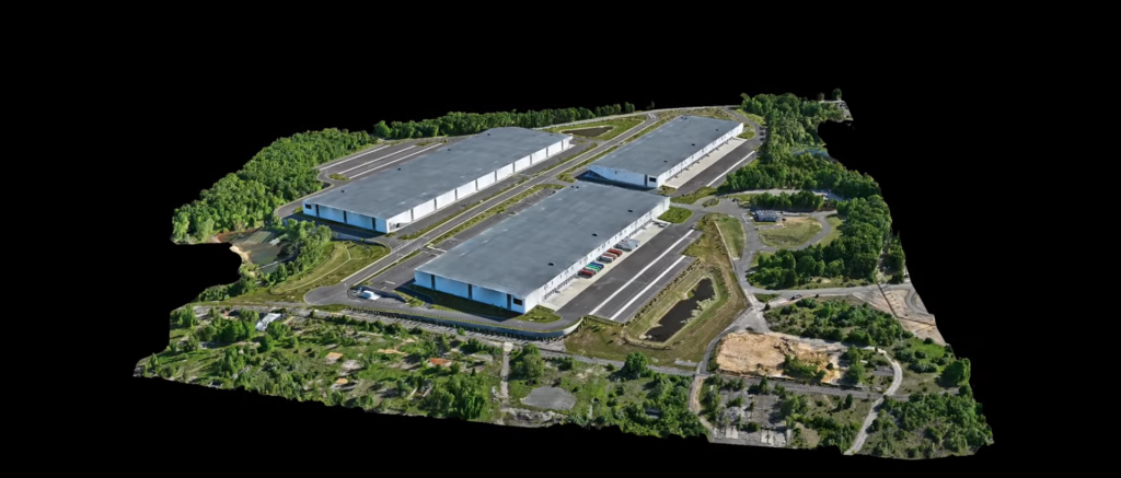
Aerial photography surveys use drones equipped with high-resolution cameras to capture detailed images from above. These aerial images provide a clear view of the property, making it easier to define boundaries and identify land features. The process is faster and more accurate than traditional ground-based methods, allowing for better decision-making in construction and real estate development.
Why Use Aerial Photography Surveys for Property Boundaries?


Aerial photography surveys come with several advantages that make them a smart choice for property boundary identification. Here’s why:
- Increased Accuracy: Drones capture high-resolution images that reveal land features and boundaries with precision.
- Faster Data Collection: Aerial surveys cover more ground in less time, which means quicker results for your project.
- Cost-Efficient: With fewer resources required, aerial surveys can save you money, especially for large properties.
- Improved Safety: Drones can access difficult terrains, reducing the need for surveyors to work in hazardous areas.
Key Applications
Whether you’re a real estate developer, a property owner, or a construction manager, an aerial photography survey can offer numerous benefits:
1. Real Estate Development
Accurate property boundaries are essential when developing new projects. Aerial photography surveys provide a clear view of the land, helping you avoid boundary disputes and ensuring the project complies with zoning regulations.
2. Construction Planning
Clear boundary identification is critical in construction. An aerial survey gives your team precise data, reducing errors and keeping your project on track.
3. Property Transactions
When buying or selling property, an aerial photography survey ensures that both parties are clear on the exact boundaries, helping to avoid potential disputes.
How Does It Work?
Conducting an aerial photography survey involves a few straightforward steps:
- Pre-Survey Planning: Assess the site and plan the flight path for the drone.
- Drone Flight: The drone flies over the property, capturing high-quality images of the land and boundaries.
- Data Processing: The images are processed using specialized software to generate precise boundary maps.
- Analysis and Reporting: A detailed report is created, outlining the findings and any potential boundary issues.
Enhancing Property Accuracy with Aerial Photography Surveys


One of the greatest benefits of using an aerial photography survey is its ability to deliver highly accurate results. With traditional methods, it’s easy to miss small details, especially on large or uneven terrain. But drones capture every inch of the property, leaving no room for error. The result? More precise boundaries that can save time and prevent costly disputes.
When Should You Use It?
An aerial photography survey can be useful in a variety of situations:
- When purchasing or selling large plots of land
- During construction planning to ensure no errors in property boundaries
- For developers working on subdivisions or real estate expansions
- When a property’s terrain is difficult to navigate or measure with traditional methods
Final Thoughts: The Future of Land Surveys
An aerial photography survey offers a fast, cost-effective, and accurate solution for property boundary identification. Whether you’re in real estate or construction, this modern technology ensures your project runs smoothly, with fewer risks and better results. So, why not give it a try and see how it can work for you?
Interested in improving the accuracy of your property boundaries? Contact FirstLook Services today for a free consultation on our aerial photography survey solutions.
For more details about drone regulations, check out Federal Aviation Administration’s website.


