Introduction
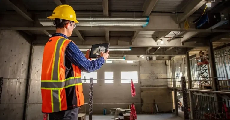
Welcome to FirstLook Service, your trusted partner in aerial photography, drone photography, and construction photography and videography in New Jersey. Navigating the challenges and opportunities of land development in our densely populated and diverse state requires innovative solutions. Aerial photography is quickly becoming a cornerstone in the construction industry, offering a bird’s-eye view that traditional methods simply can’t match. This technology is transforming pre-construction planning and land development, providing a comprehensive and efficient approach for all stakeholders.
Aerial Photography for Site Analysis and Selection
Aerial photography offers an unparalleled perspective for site analysis and selection, which is especially vital in the varied terrain of New Jersey. Traditional ground surveys are often time-consuming and costly. In contrast, aerial imagery is both faster and more cost-effective, especially when accessing difficult or densely populated areas.
Advantages of Aerial Photography
- Speed and Efficiency: Capturing vast areas quickly, providing instant insights.
- Cost-Effectiveness: Reducing the need for extensive ground surveys.
- Access to Difficult Terrain: Easily covering areas that are hard to reach on foot.
Using high-resolution aerial imagery, we can identify crucial site features such as topography, vegetation, wetlands, and potential environmental concerns. This data is invaluable for selecting the most suitable sites for construction projects, considering New Jersey’s unique regulatory environment. FirstLook Service has extensive experience in providing this essential service, assisting projects in urban, suburban, and rural areas across the state.
Enhancing Pre-Construction Planning with Aerial Data
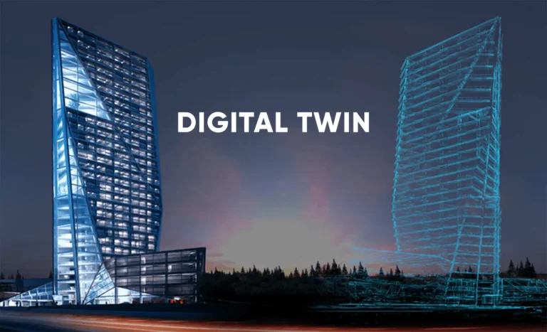
Integrating aerial photography into Geographic Information Systems (GIS) allows for comprehensive site analysis and planning. This integration helps create accurate 3D models and topographic maps, which are essential for pre-construction planning in New Jersey’s diverse landscapes.
Benefits of Aerial Data in Planning
- Accurate 3D Models: Providing detailed visualizations of the project site.
- Topographic Maps: Essential for understanding site elevations and contours.
- Site Accessibility Assessment: Determining the best access points and routes.
Aerial imagery aids in assessing site accessibility, determining optimal building layouts, and visualizing the project’s impact on the surrounding environment. This is particularly important for environmental impact assessments and compliance with New Jersey’s stringent regulations. By using aerial data, we can ensure that our projects not only meet but exceed regulatory requirements, promoting sustainable and responsible development.
Aerial Photography and Land Development in New Jersey
Aerial photography plays a crucial role in urban planning, suburban development, and rural land management projects across New Jersey. It helps monitor land use changes, identify development opportunities, track project progress, and assess infrastructure needs.
Applications in Land Development
- Urban Planning: Assisting in the development of efficient and sustainable urban areas.
- Suburban Development: Supporting the expansion of residential and commercial spaces.
- Rural Land Management: Conserving natural resources and managing agricultural lands.
In addition, aerial photography is invaluable for transportation planning, coastal zone management, and natural resource conservation. For instance, aerial imagery can help in designing transportation routes that minimize environmental disruption or in managing coastal zones to protect against erosion and flooding. Successful projects in New Jersey have leveraged this technology to achieve efficient and sustainable outcomes, showcasing the transformative power of aerial photography in land development.
Conclusion
In summary, aerial photography is revolutionizing pre-construction planning and land development in New Jersey. The key benefits include enhanced site analysis, comprehensive planning capabilities, and effective land development strategies. At FirstLook Service, we pride ourselves on providing top-notch aerial photography services tailored to the unique needs of construction projects within New Jersey’s diverse landscape and regulatory environment.
If you’re looking to harness the power of aerial photography for your next project, contact FirstLook Service today. Let us help you map the future of New Jersey’s development while balancing growth with environmental preservation.
Reach out to FirstLook Service for all your aerial photography, drone photography, construction photography, and videography needs in New Jersey and take your construction projects to new heights.
For more information about drones in America, check out the FAA’s website.