LiDAR is one of the fastest-growing technologies today.
One of the most obvious effects of this growth is how it is changing the way projects are planned, documented, and managed in architecture, engineering, real estate, and other fields. The ability to capture millions of highly accurate data points in minutes helps teams make better decisions, reduce costly rework, and keep projects moving.
Adopting LiDAR isn’t just about buying the latest scanner, though. It’s about having the right equipment, experienced operators, and workflows to turn raw data into deliverables your team can actually use.
And who has time for that? We do! 👷
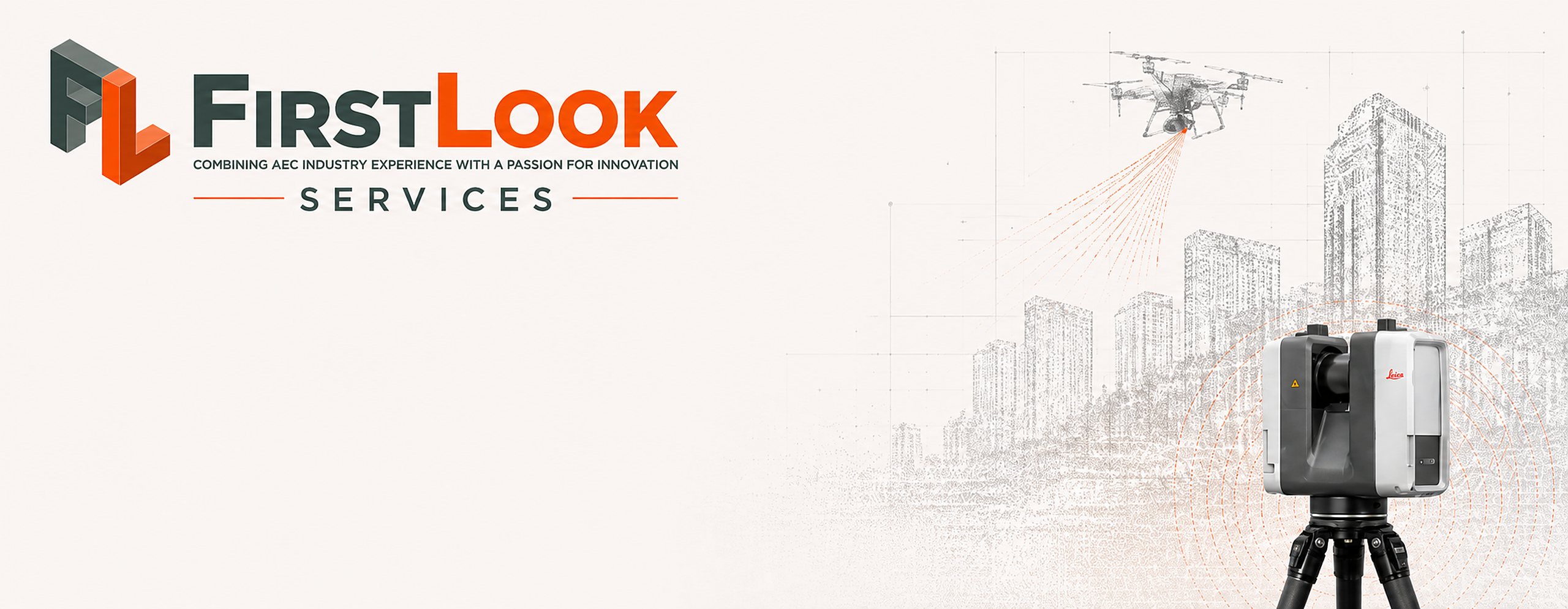
FirstLook uses industry-leading technology, including the Leica RTC360 terrestrial laser scanner and our professional drone fleet, to provide accurate point cloud data, BIM-ready data, progress documentation, aerial imagery, and 3D mapping that help architects, engineers, contractors, developers, and property owners work smarter.
Whether you’re planning a renovation, documenting existing conditions, creating a virtual tour, or tracking construction progress, we can capture the data you need for a fraction of the cost.
📧 Contact FirstLook Services at info@firstlookservice.com to learn how LiDAR and reality capture can support your next project.