The construction industry is changing fast, and at FirstLook, we harness these advancements like Drone Site Analysis with DroneDeploy to provide high-accuracy aerial views, 3D models, and topography comparisons. This tech not only enhances construction workflows but also makes project management software for builders more effective, ensuring that every stage of a project is planned and executed with precision.
In this blog, we’ll explore how drone site analysis is transforming construction site preparation and why it should be an essential part of your next project.
The Modern Era of Construction Media
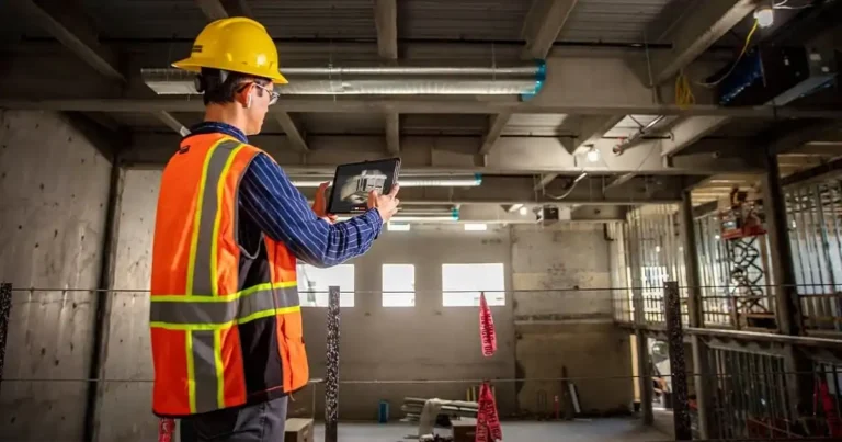
Gone are the days of relying solely on manual site inspections and outdated site maps. With DroneDeploy Compare Capture, our flagship service, we provide construction project management technology that delivers a real-time, comprehensive view of your site. Our drone flyovers generate regularly updated maps, interactive 3D models, panoramas, and detailed annotations. These tools offer unmatched visibility and insight, allowing project managers to make informed decisions about site preparation.
Key Features of Drone Site Analysis:
- Interactive 3D Maps: Explore your site from every angle and make accurate measurements for areas, distances, and volumes.
- Panoramic Views: Capture 360-degree overviews to effectively communicate site progress to stakeholders.
- Progress Tracking: Stay informed with biweekly updates, helping you identify issues early and keep the project on track.
Enhanced Topography and Grading Analysis
One of the standout features of Drone Site Analysis is the ability to perform topography comparison and grading analysis. This process is a game-changer for site preparation. By coordinating with your civil engineer and using landXML files, we overlay proposed topographies onto existing site data. This allows for a precise comparison between the current site conditions and the final grading plan.
Why This Matters:
- Accurate Site Readiness: Ensure that your site’s topography aligns with your grading plans, helping you avoid rework.
- Project Tracking: Monitor the progress of your grading and topographical adjustments with real-time data.
Streamlining Construction Workflows with Tech
Drones provide an invaluable solution for improving construction workflows with tech. Traditional site inspections often involve tedious manual surveys that can slow down project timelines. The integration of drones in construction provides immediate access to aerial imagery and site maps, enabling quicker decision-making. Combined with construction data management solutions, drone-captured insights can be seamlessly integrated into BIM (Building Information Modeling) systems, further streamlining site preparation and ongoing project management.
Choosing the Right Construction Technology Partner
With so many options for construction technology, it can be difficult to know where to start. When choosing a construction technology partner, it’s essential to look for companies that offer comprehensive, high-quality services. Our services not only provide cutting-edge technology but also offer ongoing support to ensure you get the most out of your investment.
Our approach is designed to improve your project’s efficiency, accuracy, and overall success—turning the complex task of site preparation into a streamlined, data-driven process.
The Future of Site Preparation Is Here
With drone technology quickly becoming the norm in construction site management, there’s no better time to explore how FirstLook’s Drone Site Analysis can elevate your next project. From topography comparisons to 3D mapping and progress tracking, our drone solutions provide the accuracy, efficiency, and real-time data that today’s construction projects demand.
Contact us today to learn more about how we can help you prepare your site with cutting-edge drone technology.
Ready to get started? Schedule a consultation with our team and discover how drone site analysis can transform your construction workflows.